Ecosystem Map to Improve Knowledge, Governance and Communication of Civic Spaces in Santa Pola
Edited on
24 September 2019Thanks to the participation in the Transfer Network “Active NGOs” project, and within the framework of the “Santapovant” City Strategic Plan, the city of Santa Pola (ES) has reactivated its participatory structures to define a map in which will frame all the NGOs and social initiatives, whose main goal will be to obtain an exhaustive knowledge of them: their location, mission, objectives and activities, allowing citizens, local govermment and stakeholders greater visibility; secondly, to identify new opportunities and challenges to improve the current governance and decision-making of local civic spaces; and thirdly, to boost public-civic communication and participation channels, drawing inspiration from de Good Practice of Riga “NGO House” (Latvia).

The local venues that will be analyzed are currently defined by the transfer study conducted by Lead Expert D. Levent Polyak during the first phase of the Active NGOs project. Likewise, this initiative has been motivated by the “master class” received during the kick off meeting that took place in Santa Pola last February, of this second phase project, being facilitated by Mr. Miguel Jaenicke, who shared with all participants examples on Ecosystem mapping initiatives in cities such as Madrid and Zaragoza.
All this led to the Municipality of Santa Pola through its Local Development Agency decided to request the collaboration with the Department of Human Geography of the University of Alicante, in order to carry out the planning and definition of the corresponding "mapping" of local NGOs. Accordingly, it has been chosen to ensure that this “mapping” is based on citizen participation and, above all, on the perception that the inhabitants of the municipality have about the local civic spaces in question: the management of the uses of the venues, the itinerary to arrive to them, access, security, transport, etc. In this way, the map will become a strategic document that will help highly in the future to ensure the efficient use of local civic spaces.

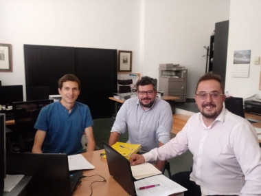
For instance, the work team of "Active NGOs in Santa Pola", led by the Local Development Agency and in collaboration with the Councils of “Social Services” and “Youth”, have been working on the initiative since May 2019 and have held different coordination meetings with the researchers who will develop this mapping (May 17, September 13 and 16), all with the support and advice of the expert D. Miguel Jaenicke who will supervise and contribute ideas throughout the process.
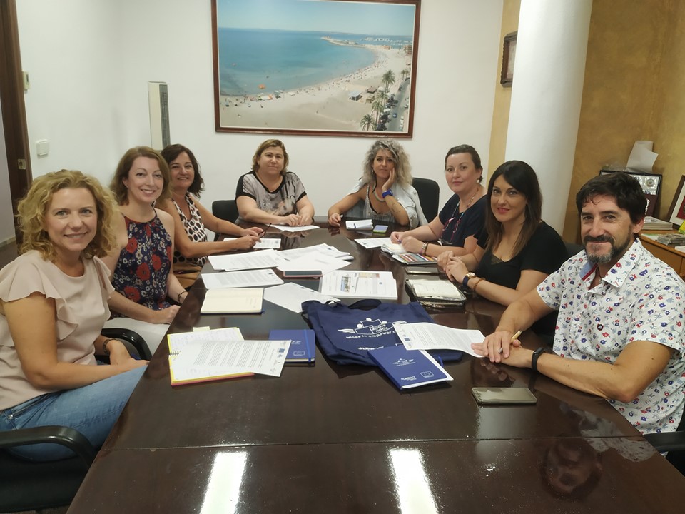
It is remarkable that at the last meeting of the Urbact Local Group held on September 16, the proposal to carry out this “Ecosystem mapping” was presented, being one of the first actions, a massive call to all NGOs and members of different citizen initiatives for the participation of this action, baptized as "Ecosystem Mapping of Santa Pola", that will take place during the first half of October.
After this citizen action, the University of Alicante will transfer this information to the “mapping” during the following weeks. In addition, a representative from the University of Alicante will participate in the third transnational meeting in Syracuse (October 2019) in order to share the progress of the initiative with the rest of the partners.
To sum up, it is expected to have this strategic and significant product by the end of 2019 in Santa Pola.
 Submitted by z.biteniece on
